
Water Source Protection
Fencing, buffer-zone planting and spring protection at the exact points where rivers begin.
A spring loses its flow long before anyone downstream notices. We map active water points with communities, fence the immediate catchment, plant a riparian buffer of deep-rooted species, and build simple protected intakes so households stop drawing straight from an open, silting spring.
Every protected source is logged with GPS coordinates and revisited each dry season to check flow and fence integrity.
Projects using this approach
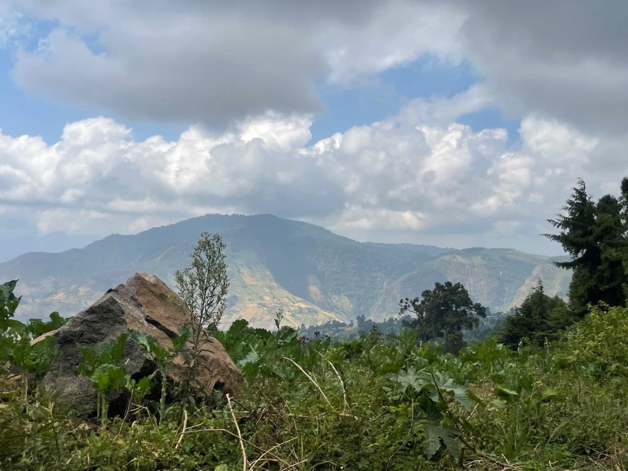
Elgeyo-Marakwet
ActiveKesup Forest
Just past the highland town of Iten, where runners chase the sky and clouds hug the cliffs, a quiet revolution is taking root along the Kesup escarpment.
96 / 180 hectares restored
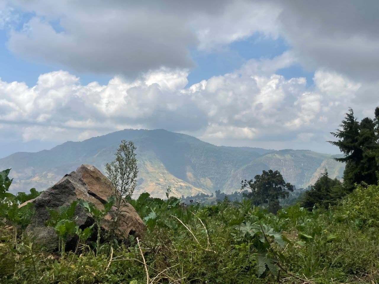
Uasin Gishu
ActiveKaptagat Forest
A high-altitude forest block that headwaters the Sosiani River, and home to some of the last indigenous cedar stands in Uasin Gishu.
74 / 120 hectares restored
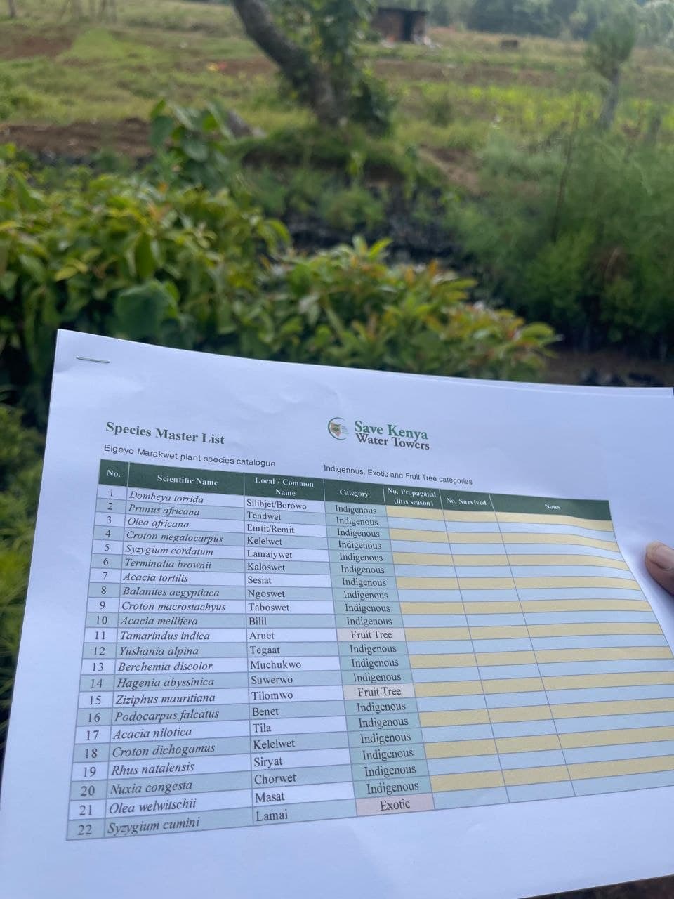
Baringo
ActiveChemususu Catchment
Farms ringing the Chemususu Dam catchment, where soil washing off hillside plots was silting the reservoir that supplies Eldoret town.
38 / 90 hectares restored
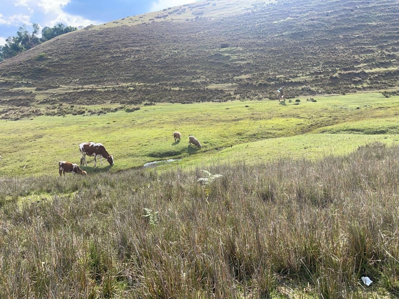
Nakuru
PlannedMau-Adjacent Highlands
Our newest area of work, extending catchment protection from the Cherangani system into the highlands bordering the Mau Forest Complex.
0 / 200 hectares restored