
2 February 2026 · Save Kenya Water Towers
Why Elgeyo Marakwet's Water Towers Matter Downstream
World Wetlands Day
2 February 2026
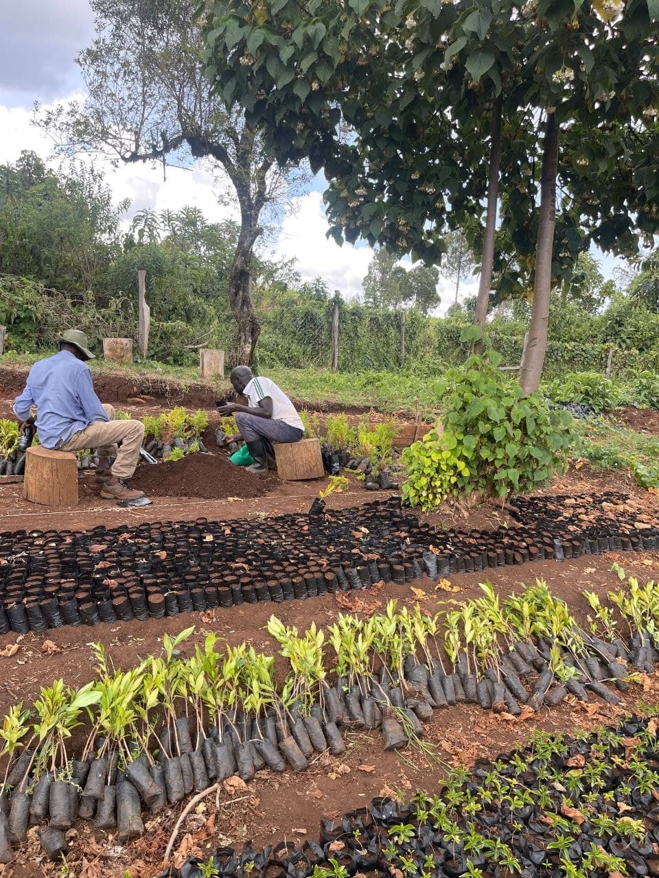
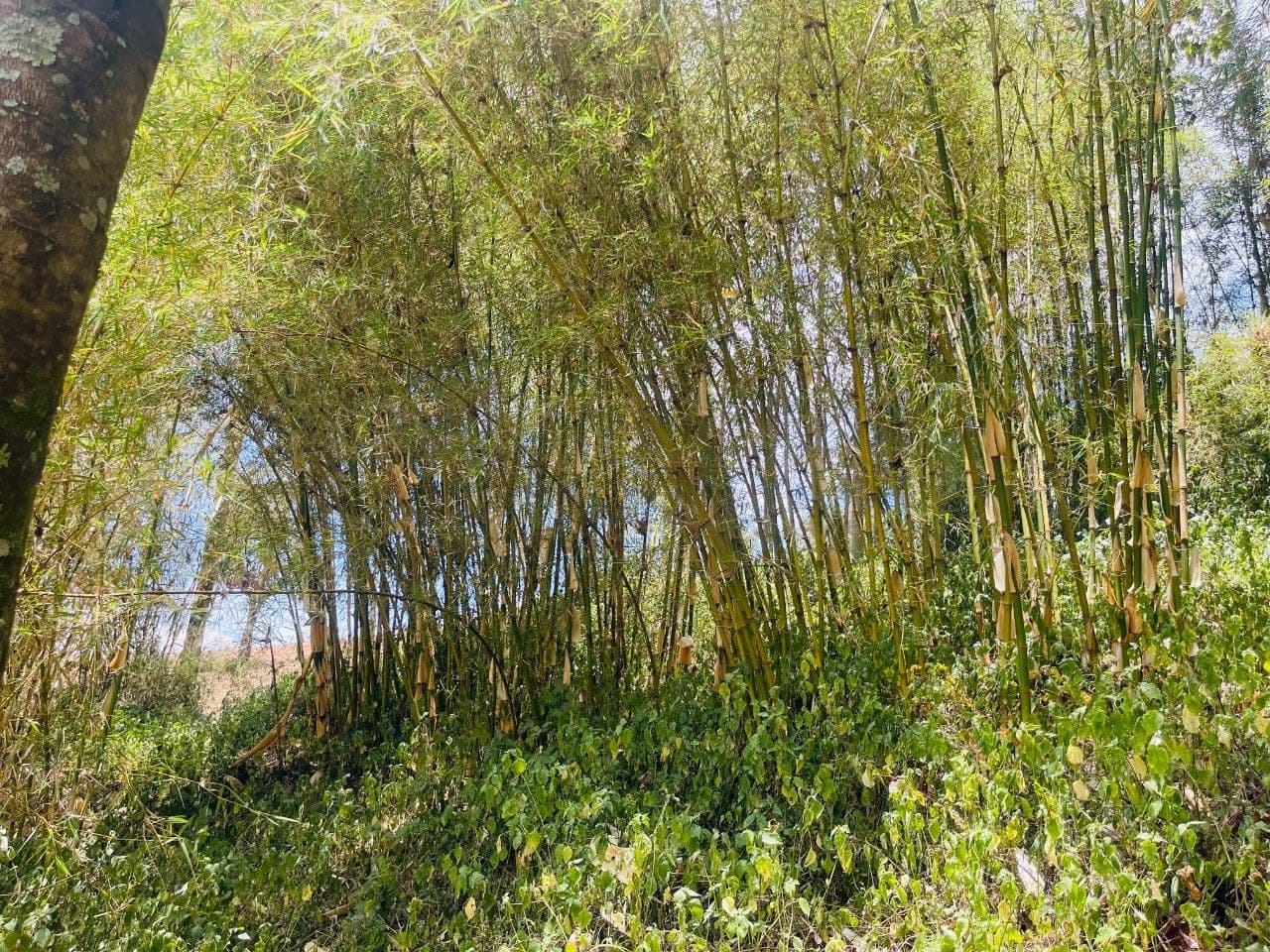
Every 2 February, World Wetlands Day turns attention to the rivers, swamps and springs that keep landscapes and livelihoods alive. In Elgeyo Marakwet, that story begins high above the valley floor, in two forest water towers most people downstream will never see.
Elgeyo Marakwet carries the second-largest forest cover of any county in Kenya, and almost all of it sits inside two blocks: the Cherangany Hills in the north, and the forests of the Elgeyo Hills, the escarpment that runs the length of the county and gives it its name. Together they form the water divide that decides where every drop of rain in the county ends up.
One ridge, two river systems
East of the escarpment, rain gathers into the Kerio catchment, feeding the Kerio River and its tributaries, Kerrer, Torok, Chesegon, Embobut, Embomon, Arror, Mong and Kimwarer, down through the Kerio Valley toward Lake Turkana. These same rivers hold real potential for irrigation and hydro-power, and their seasonal wetlands support grazing and farming across the valley floor.
West of the escarpment, a different set of rivers, Moiben, Chepkaitit and Sabor, drains instead into the Lake Victoria basin. Two coastlines, two countries' worth of downstream users, and both depend on the same forested ridge to hold water back long enough to release it slowly rather than all at once.
Water towers and rivers at a glance
River / stream
Basin
Feeds toward
Kerio
Kerio catchment
Lake Turkana
Kerrer
Kerio catchment
Lake Turkana
Torok
Kerio catchment
Lake Turkana
Chesegon
Kerio catchment
Lake Turkana
Embobut
Kerio catchment
Lake Turkana
Embomon
Kerio catchment
Lake Turkana
Arror
Kerio catchment
Lake Turkana
Mong
Kerio catchment
Lake Turkana
Kimwarer
Kerio catchment
Lake Turkana
Moiben
Lake Victoria basin
Lake Victoria
Chepkaitit
Lake Victoria basin
Lake Victoria
Sabor
Lake Victoria basin
Lake Victoria
Why this matters beyond the county line
Wetlands and rivers rarely respect administrative boundaries, and Elgeyo Marakwet's do not either. What happens on the slopes of the Cherangany Hills and the Elgeyo Escarpment, whether forest cover holds or degrades, decides how much water reaches farms, wetlands and hydro-power potential in the Kerio Valley, and how steadily rivers feed the Lake Victoria basin on the other side of the ridge. Protecting these two water towers is, in a very literal sense, downstream protection for two entirely different drainage systems at once.
This is the case SKWT makes on World Wetlands Day: that community stewardship on a single forested ridge in Elgeyo Marakwet carries consequences for river systems, wetlands and communities far beyond it.