
Date not listed · Save Kenya Water Towers
Integrated Landscape Management: The Fragile Elgeyo Marakwet Escarpment
Field Brief
Drawn from county topographic, land-use and landslide-susceptibility mapping, and the November 2025 Kenya Inter-Agency Rapid Assessment (KIRA)
Elgeyo Marakwet's name comes from the ridge that defines it. That same ridge, the Elgeyo Escarpment, is also the county's most dangerous ground.
The county's shape is unusual: a narrow, elongated corridor wedged between the Uasin Gishu Plateau to the west and the Kerio Valley to the east, split into three topographic zones. The Highlands cover 49% of the county's land area and hold most of its population, fertile soils and reliable rainfall. The Kerio Valley, semi-arid and lower-lying, covers 40%. Between them sits the Escarpment: just 11% of the county's land, but the single most hazardous strip of ground in it.
Highlands 49%
Escarp 11%
Kerio Valley 40%
A century of warning
The instability of the escarpment is not a new discovery. In the early 1900s, colonial officer William Spencer demarcated what became known as the Spencer Line, a safety boundary intended to keep settlement off the most unstable escarpment slopes. More than a century later, that same line is the subject of SKWT's own Spencer Line Management Plan, because the boundary it marked still matters and, in many places, has long since been
1900s
- Spencer Line demarcated as a safety boundary against settlement on unstable slopes
1961, 2010, 2012, 2019, 2020
- Recurring landslides across Endo, Kaptarakwa, Kapchelal, Anin, Siroch, Ngopisi, Kaporol, Kasegut, Embobut/Embolot and Emsoo wards
Pre-2025
- Repeated major slope failures in the Lagam escarpment area
Oct–Nov 2025
- Major mudslide crisis at Chesongoch and Moror, Marakwet East; Spencer Line landslides at Chesongoch and Kipkenda over 2024/2025 killed 39 people in total
What the November 2025 assessment found
The Kenya Inter-Agency Rapid Assessment (KIRA), conducted after the Chesongoch and Moror mudslide, put numbers to the damage:
Households affected
Homes destroyed
Lives lost
4 km²
Farmland affected
Beyond the immediate toll, the assessment recorded damage that reaches well past the disaster site itself: destroyed water pipelines and latrines, a mission hospital swept of its equipment, a shopping centre erased, and, in the Kerio River itself, heavy sedimentation and rising turbidity as eroded escarpment soil moved downstream. Debris blocked waterways in places, forming temporary dams that raise the risk of sudden flooding further down the valley. Eighty percent of displaced households told assessors they did not know when they would be able to return home.
Why the escarpment fails
The county's landslide susceptibility mapping weighs five physical factors to predict where slopes are most likely to fail. Slope itself carries the most weight, but land use and land cover is close behind, ahead of soils, rainfall and stream proximity combined:
Factor
Weight
Slope
35%
Land use / land cover
32%
Soils
17%
Rainfall
10%
Streams
6%
That ordering matters for what can actually be done. Nobody can re-grade a 1,800-metre escarpment. But land use, what grows on a slope, how it is farmed, whether tree cover holds the soil together, is the one major factor in this model that a community and a programme like SKWT's can directly change. It is the difference between a hazard map that only tells you where danger lives, and a landscape strategy that can move some of that risk.
A whole-county goal
The escarpment is where the danger is most visible, but SKWT's ambition is not limited to that 11% strip. Our goal is to bring the entire Elgeyo Marakwet County landscape, Highlands, Escarpment and Kerio Valley alike, into improved and productive management, rather than treating each zone, or each project site within it, as a separate problem to be solved on its own.
That is what distinguishes integrated landscape management (ILM) from a conventional project approach. As FAO's own land and water programme frames it, ILM manages the natural resource base and the livelihoods that depend on it together, at the scale of a whole catchment or landscape rather than a single farm or forest block, because the interactions between them, water, soil, forest, farmland, are what actually determine whether a landscape stays productive. The Practical Guide to Integrated Landscape Management, developed by EcoAgriculture Partners and the 1000 Landscapes for 1 Billion People coalition, sets out five elements that recurring ILM efforts around the world tend to share: a durable multi-stakeholder partnership; a shared understanding of the landscape's history, state and trends; a long-term shared vision with concrete targets; coordinated action and investment; and ongoing monitoring and learning.
Applied to Elgeyo Marakwet, that means recognising how the three zones already depend on one another. Forest cover in the Highlands feeds the rivers the Kerio Valley depends on. Escarpment stability protects the homes and roads that connect the two. Valley-floor agriculture and grazing absorb pressure that would otherwise fall on steeper, more fragile ground. Manage any one zone in isolation and the interdependence gets missed; that gap is exactly what a county-wide landscape strategy is meant to close.
Landscape partnership: County government, KFS, NEMA, FAO, University of Eldoret and community structures working as one coalition, not parallel actors.
Shared understanding: The topographic, land-use and landslide-susceptibility mapping behind this brief, held in common rather than siloed by agency.
Vision and planning: The Spencer Line Management Plan and Kipkabus PFMP, each setting a long-term, spatially explicit plan for its part of the landscape.
Taking action: Community-led agroforestry and Assisted Natural Regeneration, translating the plans into work on the ground.
Impact and learning: Survival rates, beneficiary data and progress reporting that feed back into how the strategy adapts.
Where this brief's findings fit
The KIRA report's own long-term recommendations read like a checklist for exactly the kind of work SKWT is already doing on the escarpment: expand community forestry with incentives for maintaining forest cover, scale up ecological restoration of degraded escarpment zones, sustain community awareness and early-warning training, and establish permanent research and monitoring in the escarpment region.
Spencer Line Management Plan: Revisits a century-old settlement boundary with current science and community input, working with the University of Eldoret and county stakeholders to decide, block by block, where the escarpment can be farmed, restored, or left alone.
Assisted Natural Regeneration and agroforestry: On escarpment and margin land, address the land-use factor directly, the one lever in the susceptibility model that responds to community stewardship rather than geology.
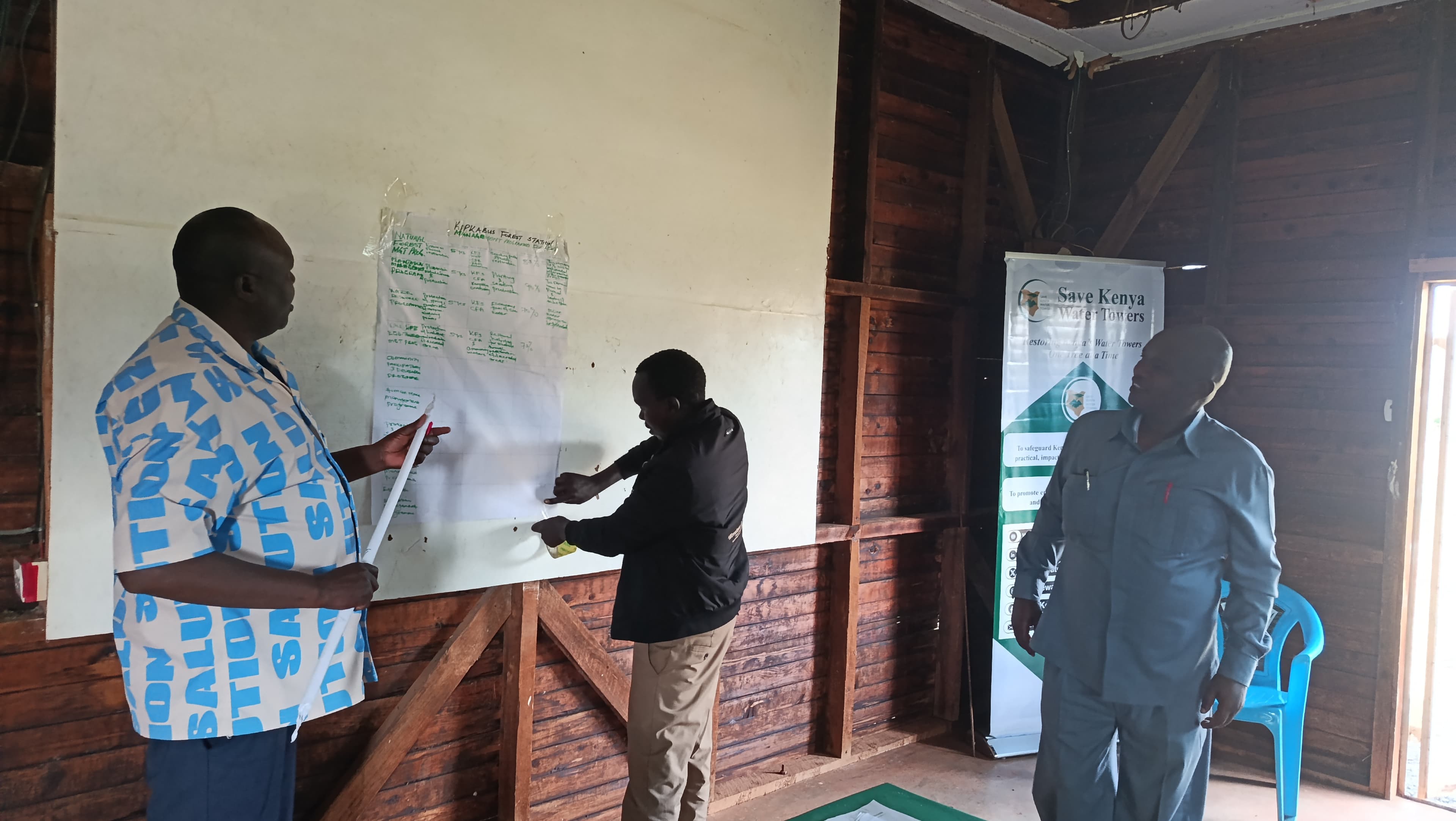
Participatory Forest Management: Including the Kipkabus PFMP review, builds the local institutions that make restoration commitments outlast any single project or funding cycle.
None of this undoes the physics of a steep, saturated slope. But the same mapping that shows the escarpment's danger also shows where community-led restoration has real leverage, land use is not the largest factor in the model, but it is the largest one anyone can act on. Scaled up across all three zones under one landscape-wide strategy, rather than confined to the escarpment alone, that is what integrated landscape management is meant to achieve for Elgeyo Marakwet: not a single fix, but an alignment of land-use planning, forest restoration, early warning and community stewardship across the whole county, aimed at the parts of the risk, and the opportunity, that are within reach.
Save Kenya Water Towers (SKWT) · Elgeyo Marakwet, Kenya · Figures drawn from the Elgeyo Marakwet County topographic and landslide susceptibility mapping and the Kenya Inter-Agency Rapid Assessment, Elgeyo Marakwet–Marakwet East Landslide, November 2025. ILM framing adapted from FAO's Land & Water programme and the Practical Guide to Integrated Landscape Management (EcoAgriculture Partners / 1000 Landscapes for 1 Billion People).